Source
map3d web app
Read the primary source.
Reference illustration, not a screenshot of this source.
3D map generator (web app, open source) · Images
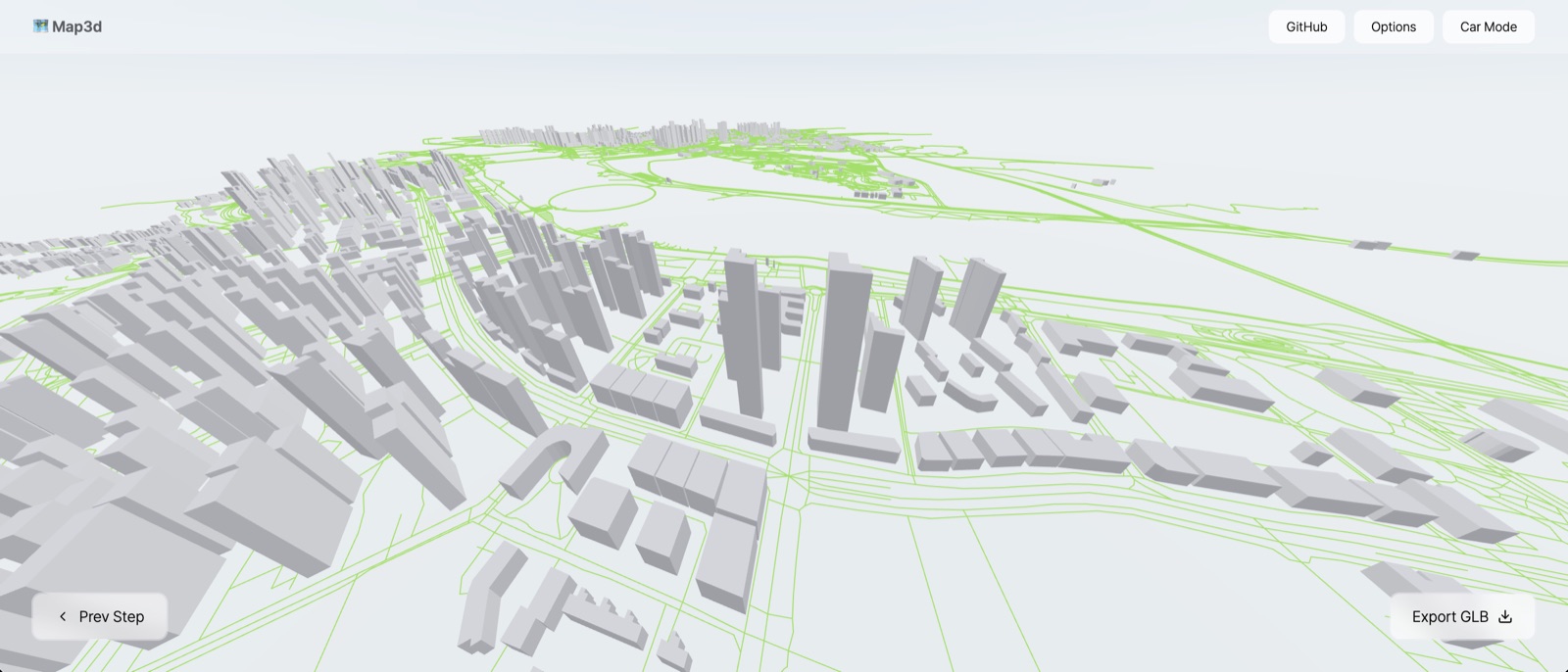
Turns any area of the world into a 3D city map: buildings extruded to their recorded height and roads, from OpenStreetMap, exportable as a GLB 3D model.
Choose for a 3D view of a real city, district, port or corridor that a page or a film can show, turn or fly over.
Not for exact building heights or surveys, not for textured or photographic cities, and not for a flat map with labels (use a map library or a drawn diagram).
An area on the world map; OpenStreetMap building and road data, fetched by the app
A 3D city map in the browser; A GLB 3D model file for Blender, three.js, a page or a film
Open the web app, choose the area, then view it or export a GLB file. The code is React Three Fiber (three.js) and can be run or embedded in a React project.
Provider capabilities and historical Studio notes are distinguished below. Current account access, credits and runtime readiness were not tested.
Free and MIT licensed. No per-use charge.
Runs in the browser; map data comes from OpenStreetMap servers.
Not relevant: the output is a 3D model without text.
The only tool here for a 3D model of a real place, free and MIT licensed, with a GLB export that Remotion, three.js or Blender can use. Three stars until one export is tried, because heights come from OpenStreetMap and are sometimes missing.
Decision: Use it for a 3D establishing view of a city, port or border corridor. Check the heights of the buildings that matter before showing it.
Keywords: 3D map, city map, digital twin, buildings, roads, OpenStreetMap, OSM, GLB, three.js, React Three Fiber, map of a city, port, corridor, satellite view in 3D.
README and repository read 21 September 2026; the web app answered. No area exported and no GLB opened here.
Catalogue review: 2026-09-21. The evidence note identifies what was verified. This date does not imply a fresh tool test or verification of every linked source.