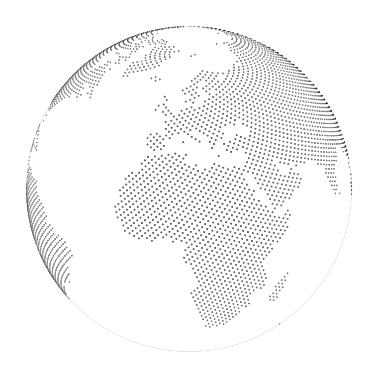
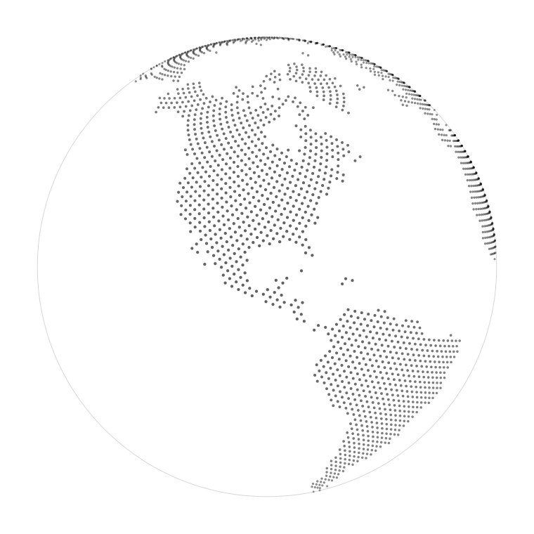
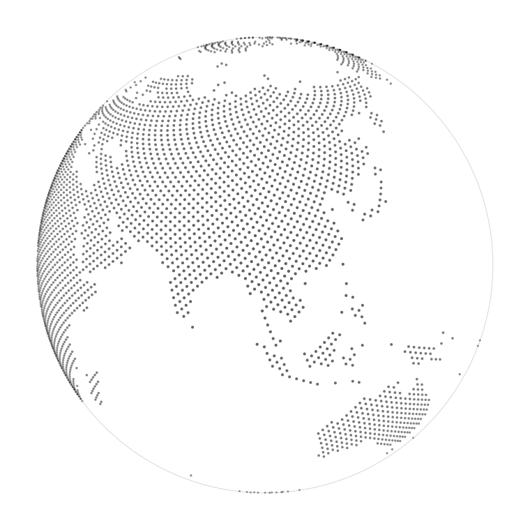
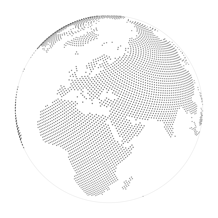
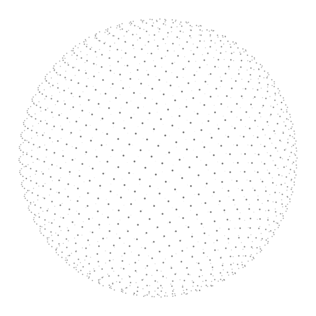
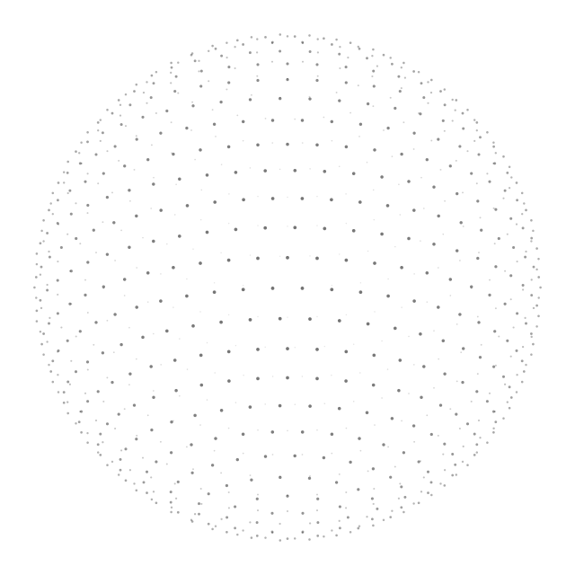
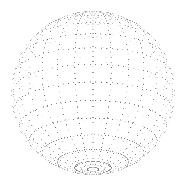
A globe whose continents are made only of small dots, pale enough to sit under text. Built from real coastlines, so it takes any size and any colour and owes nothing to anyone.
This is what it does behind a heading and a paragraph: present, quiet, and never competing with the words. Its colour and its strength are two numbers you can move.
Take the file. Each globe is one drawing: Europe and Africa · the Americas · Asia and Australia · centred on Cyprus · even dots · thinning dots · rings.
It takes the colour of the text around it. The dots are drawn in currentColor,
so setting color on the box that holds it changes the whole globe. Nothing to edit inside the file.
As a watermark, place it behind the words, hold it at about half strength, and let it run off the edge of the page. The block above shows those three settings.
To reframe or redraw one, the maths lives in the workspace at
world3.py, beside this page: give it the longitude and the latitude you want in the middle (see cyprus.py) and it places the dots from land.geojson, the public-domain coastline that sits here too.